PRODUCT
The product
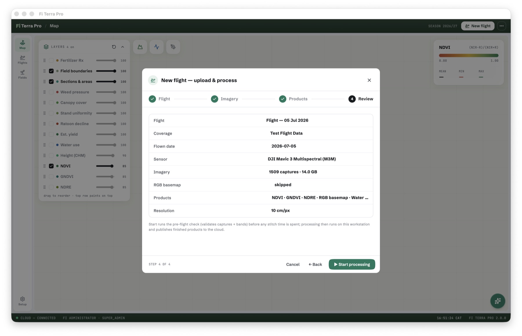
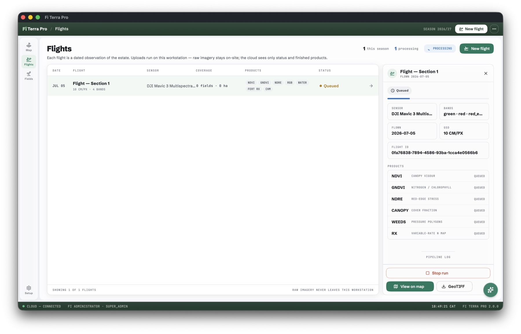
ON-SITE PROCESSING
The stitch lives where the crop lives
The full photogrammetric pipeline runs on your workstation — the engine provisions itself on first run. The cloud sees only finished products.
- Auto-provisioned engine (16 GB minimum, tells you honestly if the machine can’t)
- Band-aware capture validation before any stitch time is spent
- Survey mode: areas with no field boundaries still yield imagery + terrain
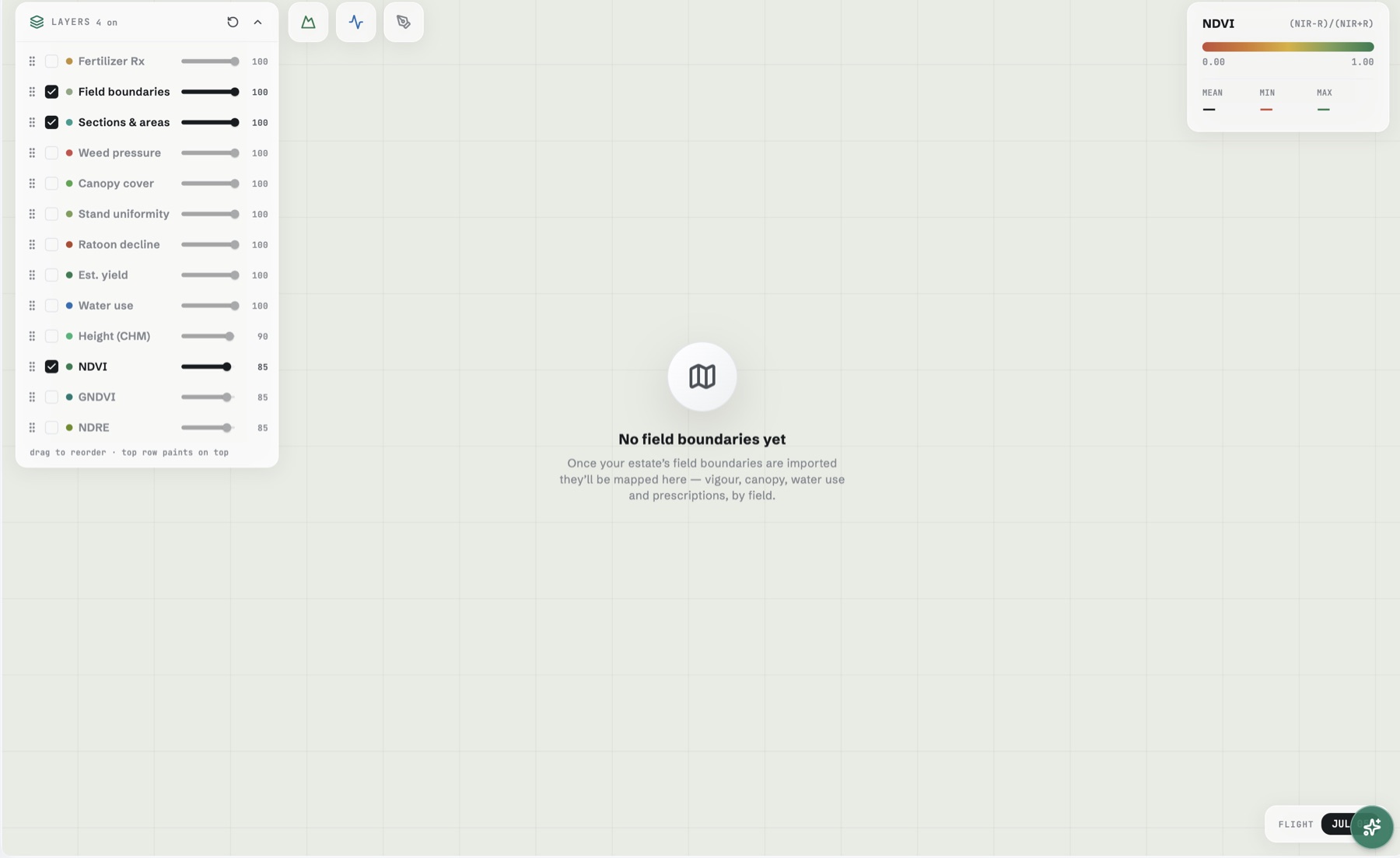
LAYERS · 2D ↔ 3D
Fourteen layers, one map, real ground
Fourteen layers, composited in any order, in 2D or draped over true 3D terrain.
- Seamless 2D ↔ 3D toggle, same layer stack
- Height cross-section profile tool
- Draw-on-ortho boundary capture
GROWTH · HEIGHT · YIELD
Measured against your estate, not a textbook
Height from bare-earth baselines. Growth against your own cohorts. Yield calibrated per variety from weighbridge actuals — fit quality on every number.
- Bare-earth DTM baselines per section
- Cohort growth curves at matching GSD only
- Per-variety weighbridge calibration, clamped and honest
ACTIONS
Prescriptions, weeds, water — ready to use
Variable-rate nitrogen, replant zones, explainable weed polygons, irrigation uniformity — exportable to your gear.
- FERT RX and REPLANT zone maps
- Deterministic weed detection (explainable by design)
- GeoTIFF export of any product
FI ASSISTANT
Ask the season a question
Reads your fields, flights and readings. Answers in agronomy, on every screen.
- Grounded in your own data
- Included fair-use on paid plans