01
Fly
Fly as usual. Drop the card’s folder on the workstation.
Multispectral flights in. Vigour, height, weeds, water and prescriptions out — per field, in 2D and 3D.
Free for 3 users · 5 flights · 2 with 3D terrain · no card required
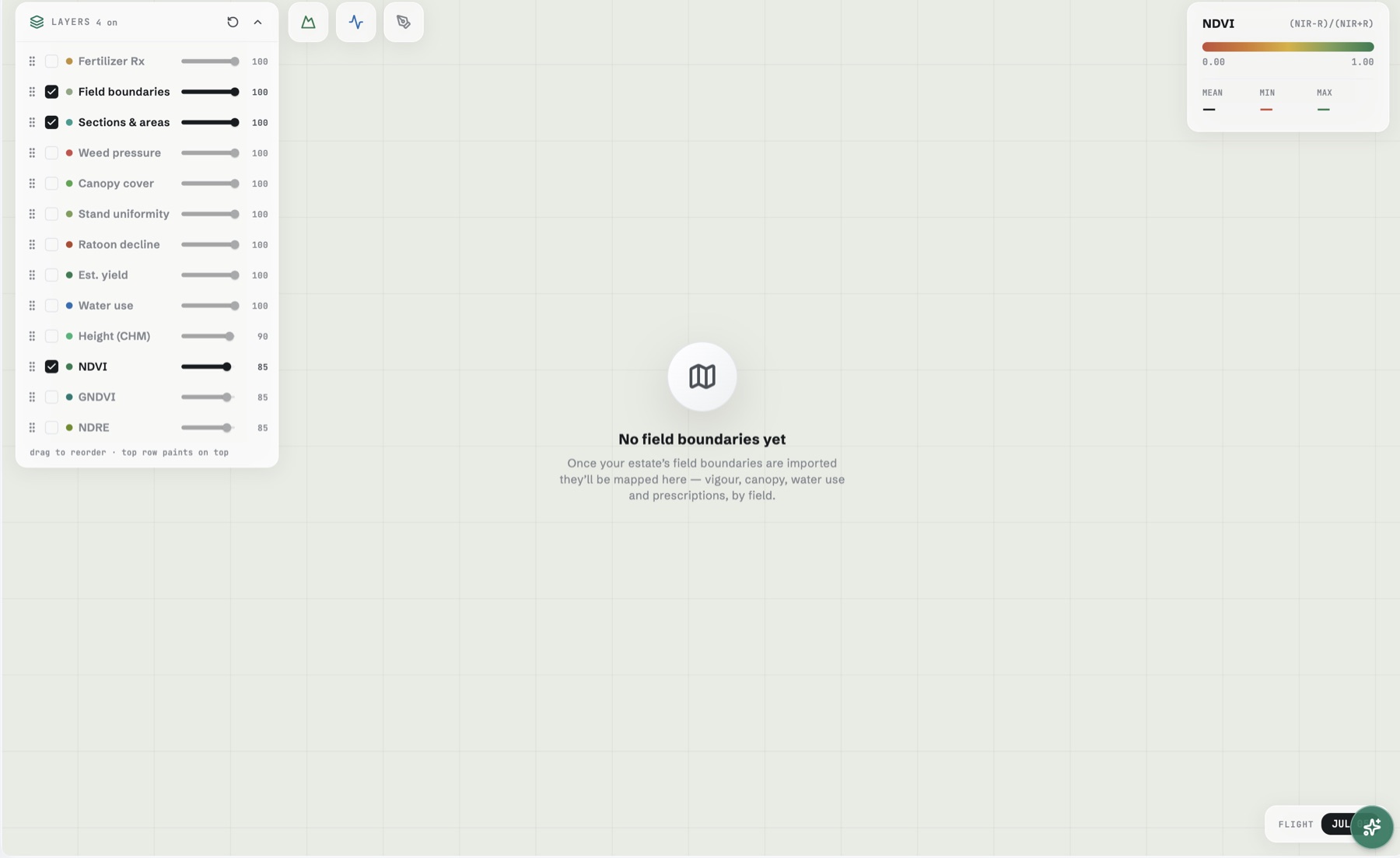
Works with most multispectral sensors — DJI Mavic 3 Multispectral out of the box; MicaSense, Sentera and other 4-band rigs via band mapping. Any crop.
01
Fly as usual. Drop the card’s folder on the workstation.
02
Fi validates, stitches and analyses — 14 layers, on your machine.
03
Per-field maps and prescriptions, tracked season on season.
Orthomosaic, DSM and hillshade — processed beside the field office.
Any layer draped over true elevation. One 2D ↔ 3D toggle.
Canopy height from bare-earth baselines; curves against your own cohorts.
Per-variety yield from your weighbridge actuals — fit quality shown.
Variable-rate N and replant zones — GeoJSON and GeoTIFF export.
Ask the season a question — answers from your own data.